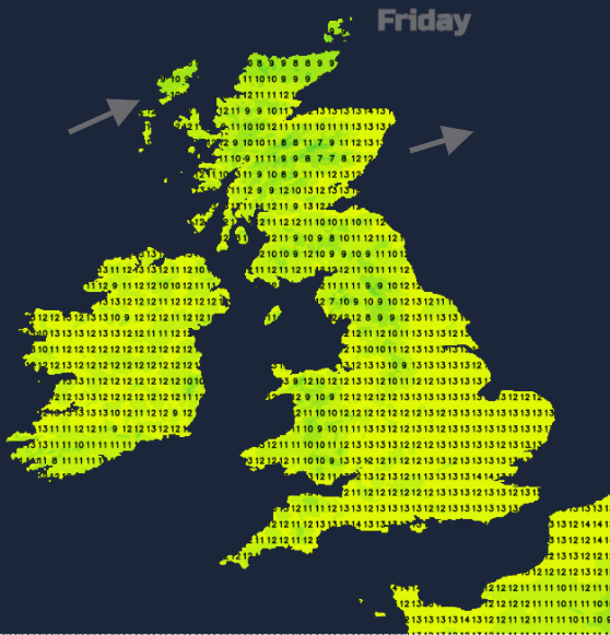
It will be a quiet, fair and
mild Friday. Generally, more cloud in the west, damp
for some coasts but brighter with sunshine to the
east. The cloud thickens and increases over much of
England and Wales although gaps remain overnight for
northern England. More mixed for Northern Ireland
and Scotland with clear spells in the east but the
frontal rain keeps on going. By Saturday morning it
begins to shift southwards
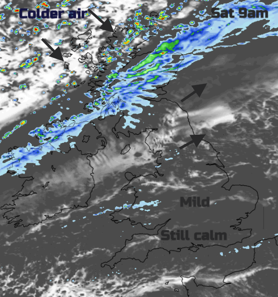
This cold front introduces the first change to
colder air for the UK. Just ahead of it there will
still be blustery winds with lee gusts. Behind the
winds veer to the northwest and it will feel cooler
on Saturday. The frontal rain moves south through
Northern Ireland and Scotland and reaches the
borders at lunchtime. Southern Britain will have
another quiet day, still mild and often grey. The
rain will reach north Wales around teatime with
clear skies to the north.
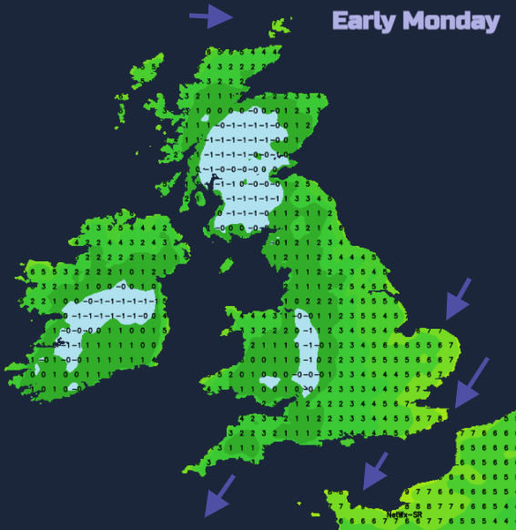
SE England could still be at 6C on Sunday morning as
the frontal cloud and patchy rain will only just be
clearing southern England Scotland will see a frost
to start the day inland and there will have been
snow showers over the mountains by night. There
could be a few wintry showers for exposed areas
caught in the flow early on Sunday, icy rain and
hail with snow flurries, but the shower activity
will be easing.
High pressure will be building in south of Iceland
and for most Sunday will be a fine, sunny autumn day
with a nip in the air but a noticeable cold north
wind. So, air temperatures of 6 or 7C will feel more
like 2 or 3C.
The cold north wind keeps going during Sunday night
for eastern and southern Britain but elsewhere there
will be frost. Later in the week, with even colder
air, there looks to be further bouts of cold north
or NW winds and more widespread frost. Snow? NW and
northern Scotland look most prone in this flow and
are likely to see some snow. Also snow showers for
north coast Northern Ireland, north Wales, maybe
clipping North Yorkshire coast. Otherwise, we’ll
just have to wait until nearer the time. Time to
find some de-icer.
Courtesy of Netweather.tv